
Find Bend Neighbors by Parcel
The reliable local starting point for Bend neighbors is the immediate parcel geometry around one address. DIAL pairs a property address with an account and map/taxlot, then shows such property facts as the situs, owner or mailing information, legal description, and map links. The Interactive Map supplies spatial context. A recorded plat or deed can clarify a lot or boundary, while CityView may show a selected project or permit relationship. Each source answers a narrow question. None of them is a verified household list, and an owner mailing address can be a PO Box, manager, trust, government office, or another location.
| Block source | What it tells you about a block | Access route |
|---|---|---|
| DIAL parcel result and account | Tax lot, owner or mailing contact, situs, legal description, lot, and subdivision context | Free County DIAL access |
| DIAL Interactive Map and GIS | Immediate parcel geometry, roads, City limits, UGB, districts, and subdivisions | Map viewer and GIS data portal |
| Recorded deeds and plats | Ownership chronology, plat or block relationship, and legal boundary language | Clerk index, historic records, counter, or copy request |
| CityView permit records | Selected project activity and a contact associated with an address or tax lot | CityView Permit Locator or a City records request |
| Voter file request | Limited public elector data allowed under Oregon law at its permitted request geography | Formal County request, not a street browser |
| Neighborhood District directory | Civic boundary, public board contact, and participation route | City district map and contacts |
The difference between parcel owner and nearby resident is central. A property account identifies a tax-record relationship. A permit may identify an applicant or contact. A Neighborhood District may identify a public civic contact. Compare each result with its source date and scope before drawing a conclusion about Bend neighbors.
Start a Bend Neighbor Parcel Trail
DIAL is the County system that converts an address into the identifiers needed for a block check. Search the focal situs address, save the account and map/taxlot, then open the record. The account page separates the property situs from Mailing Name or Mailing To information, and it can link to sales, tax maps, tax-lot history, and property reports. This separation prevents a common error: calling an off-site mailing address proof that a person lives at the Bend property.
- Find the focal address with DIAL's Property Address, or Situs, search and note the account, map/taxlot, legal description, subdivision, and lot/block if displayed.
- Open the DIAL account and check its situs against the mailing information. Save the parcel identifier before moving to the map.
- Use the overview or Interactive Map to locate only the tax lots that physically adjoin the focal parcel. A shared street name does not prove a shared boundary.
- Open each adjacent tax lot in DIAL individually and compare its boundary, account, legal description, and subdivision details. Use recorded plats or deeds when the relationship needs more confirmation.
This is a parcel-neighbor method. The current research does not document an exact DIAL click, identify, buffer, or export sequence, so the defensible workflow is map context followed by account-by-account confirmation. For a named street beyond the immediate block, use the Bend street directory rather than extending a parcel method into a broad people search.
Note: Compare parcel boundaries in the record before calling two Bend tax lots adjacent.
Map a Bend Block by Boundary
DIAL Interactive Map is the browser front end for County parcel, road, and land-use context. It works alongside the County GIS data portal, whose publicly available layers include City limits, County boundary, subdivisions, roads, service districts, unincorporated communities, the urban growth boundary, and census geography. Use the map to establish which parcels adjoin the focal lot and which jurisdiction might hold an additional record. The map supplies spatial evidence, not proof of occupancy or membership in a nearby group.
Review the Deschutes County GIS data resources before choosing layers for a Bend neighbors search. The County resource describes downloadable mapping files and its update cycle.
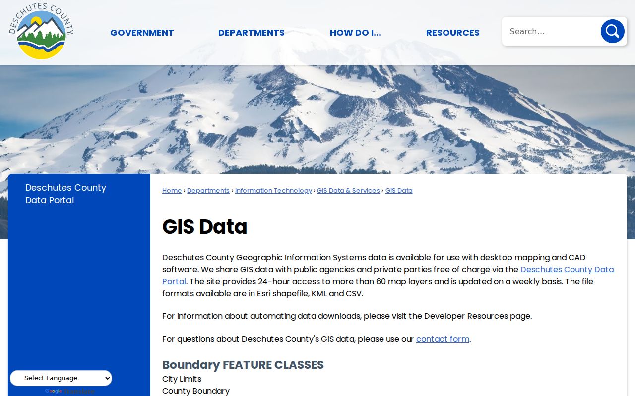
The GIS resources help define a block's physical and governmental context. Return to the DIAL account record for the property-specific identifiers and owner or mailing fields.
At Bend's edge, the distinction matters. The City adopted a 2,380-acre urban-growth-boundary expansion in 2016, so a Bend mailing address may describe City territory, County territory, a PO Box, or land within the UGB but outside City limits. Check the DIAL City field and GIS layers before treating a City portal result as County-wide, or a County parcel result as a City record.
Use Bend Maps With Parcel Records
The map and the parcel account serve different roles for Bend neighbors. The Interactive Map can place a road, parcel, subdivision, or district in context. DIAL results and account pages provide the record identifiers and property fields that make a parcel traceable. County GIS confirms that its data layers are updated weekly, but current map display controls are JavaScript-driven. Do not promise a visible neighbor list from a map tool or infer an adjoining relationship until the individual tax lots have been compared.
Open the DIAL Interactive Map entry point when a focal account needs map context. It is the County route for moving from a known Bend address toward the surrounding parcel geometry.
The map view is most useful when it is paired with the map/taxlot and account records from DIAL. Those references make it possible to reopen the same parcel later without relying on a visual estimate of the boundary.
For property-specific project history, the City and County systems may both matter. CityView's permit search accepts an application number, address, tax-lot number, or name or address of a permit contact. County DIAL may show tax-lot permit, inspection, and work-description material. A permit contact records a project connection, not a complete account of Bend neighbors at an address.
Check Bend Block Deeds and Plats
Where a parcel boundary needs confirmation, the Deschutes County Clerk's recorded-document system is the next evidence layer. Start from a DIAL owner, recording clue, map/taxlot, legal description, subdivision, or lot/block. The Digital Research Room is organized around parties, dates, document numbers, and book/page research rather than street addresses. Match the legal description before treating a deed as evidence for the focal property or an adjacent parcel.
- Map/taxlot
- The County identifier that connects a parcel account to maps and property records.
- Legal description
- The recorded land description, such as a subdivision lot/block or metes-and-bounds description, used to distinguish land beyond its mailing address.
- Plat
- A recorded subdivision map that can explain lot, block, street, and boundary relationships.
- Recorded party
- A person or organization named in a recorded instrument, which does not by itself establish present residence.
Official Records are online from 1983 forward. Older work may require the Clerk's Records Research pages, historic deed indexes and volumes, a counter visit, or a mail copy request. The records identify transactions and land relationships. They should not be converted into an assumed roster for a Bend block.
Note: A parcel legal description is stronger than a street-name match when a Bend block boundary is unclear.
Find Bend Neighborhood District Contacts
Bend recognizes 13 Neighborhood Districts under Bend Code 1.70 and provides an address finder, boundary map, and public contact information. These independent civic groups are not City agencies or universal membership systems. A district can give a block its civic geography and provide a public way to contact a board or participate. It cannot verify that a particular household belongs to the group. The following City-published contacts are a better route for community questions than trying to turn property records into a social roster.
| Neighborhood District | City location description | Public contact |
|---|---|---|
| Awbrey Butte | Northwest Bend | board@abndbend.com |
| Boyd Acres | Northeast Bend | hello@boydacres.org |
| Century West | Century Drive area | No email listed by the City |
| Larkspur | Southeast Bend | info.larkspurnd@gmail.com |
| Mountain View | Northeast Bend | info@mountainviewneighborhood.com |
| Old Bend | South Central Bend business core | oldbendneighborhooddistrict@gmail.com |
| Old Farm District | Southeast Bend | board@oldfarmbend.com |
| Orchard District | East Central Bend | orcharddistrictneighborhood@gmail.com |
| River West | West Bend along Deschutes River | info@riverwestna.com |
| Southeast Bend | South Bend east of Hwy 97 | sebendna@gmail.com |
| Southern Crossing | Central Bend spanning Deschutes River | hello@bendscna.org |
| Southwest Bend | South Bend between Deschutes River and Hwy 97 | info@swbend.org |
| Summit West | West Bend along Shevlin Park Rd | general@summitwestbend.org |
Use the City's Neighborhood District page to confirm the current boundary and contact for an address. The directory is a civic access point, not a source for private member details.
Bend Neighborhood Districts Are Not Rosters
City Neighborhood District mailing lists are useful for district communication, but they do not answer who a person's Bend neighbors are. The City says those delivery-address lists include unit numbers and exclude vacant or under-construction properties and utility service accounts. That design supports neighborhood outreach. It does not identify residents, owners, members, or utility customers. Membership in a Neighborhood District is voluntary and open to adults who live, own property, or operate an organization or business inside the boundary.
The distinction protects the usefulness of both sources. DIAL is for parcel facts. The district map is for civic boundaries and public contacts. A historical directory, if a specific edition supports it, is a dated subscriber lead. None should be combined into a claim that every person associated with an address is a current neighbor. Note: A public board contact is a community participation route, not evidence that any nearby household belongs to a district.
Bend Neighbor Voter Limits
Oregon makes certain elector information public through its formal list process unless an exemption applies, but it does not provide an open street interface for finding Bend neighbors. The Deschutes request form offers countywide or district choices, all or specific precincts, party choices, and TXT, PDF, or hard-copy formats. It does not list street address as a request parameter. The form requires a signed certification against commercial use, and protected information remains excluded under Oregon law.
Oregon My Vote is different. It is a secure self-service service for a voter to check or update their own registration, ballot status, County office, officials, and drop sites. It is not a nearby-voter search. Address Confidentiality Program participants and other protected voters must not be surfaced or inferred from a parcel or mailing field. For a County list request, use the Deschutes County Elections request form and respect the statutory privacy limits.
Note: The County request form does not list street address as a voter-file parameter.
Compare Bend Neighbor Record Types
Official records and commercial neighbor tools do not have the same purpose or reliability. A County parcel record identifies a defined record relationship and supplies the custodian, account, date context, and correction route. Commercial profile products often combine material from several sources without showing how a particular address claim was formed or when it changed. For a property or civic question, the official source and its access boundary should be the starting point.
| Source type | Useful for | Limit to keep in mind |
|---|---|---|
| County parcel and map records | Tax-lot geometry, property identifiers, and owner or mailing fields | Does not prove occupancy or list all household members. |
| Recorded deed or plat | Transaction history and legal land description | Does not establish present residence. |
| City permit record | Selected project history and contact relationship | Contact information is not a household roster. |
| Commercial neighbor profile category | A possible lead to verify independently | May be stale, blended, incomplete, or lack a custodian correction path. |
When two records disagree, retain the parcel identifier, record date, and source name rather than choosing the result that seems most convenient. The custodian's own correction route is the appropriate place to address an inaccurate government field.
Bend Neighbor Lookup Privacy Limits
There is no complete public record of every person around a Bend address. Renters, other household members, protected voters, utility customers, delivery recipients, and a person's current whereabouts are not supplied by the parcel trail. Oregon's Address Confidentiality Program can provide a substitute mailing address for qualified participants, and voter safety exemptions limit disclosure. Do not use public fields to reconstruct a protected location or retain redacted information from a related record.
For an incorrect DIAL tax, owner, or mailing field, begin with the Deschutes County contact connected to the account and retain the account number, map/taxlot, and concise correction evidence. A City record belongs with the City, and a voter confidentiality concern belongs with the County Elections or State process. Each custodian controls a different record and can explain its own access or correction procedure.