
Bend ZIP Code Coverage at a Glance
The principal Bend-related residential Census ZIP Code Tabulation Areas are 97701, 97702, and 97703. A ZCTA is a Census statistical approximation, not a USPS delivery definition. The broader Bend postal-name data also includes 97707, 97708, and 97709. Official City and County sources did not publish a complete boundary-by-neighborhood ZIP map, so this postal reference identifies the verified association and leaves an exact boundary claim to the USPS address tool.
| ZIP code | Verified Bend association | Delivery information | Local caution |
|---|---|---|---|
| 97701 | Bend-associated standard delivery, Census ZCTA | Bend postal service; exact station not verified | North, east, and central associations are not official edges. |
| 97702 | Bend-associated standard delivery, Census ZCTA | Bend postal service | Can extend beyond city limits; verify the address. |
| 97703 | Bend-associated standard delivery, Census ZCTA | Bend postal service | Includes 1300 NW Wall in a DIAL example; ZIP still does not define city limits. |
| 97707 | Bend postal-name association in public postal data | Station information was not located in an official source | A Bend-area label is not proof of a City address. |
| 97708 | Bend postal-name record | PO Box ZIP in public postal lists | A County example uses 97708-6005 as a mailing address. |
| 97709 | Bend postal-name record | PO Box ZIP in public postal lists | It is mailing geography, not a physical neighborhood. |
This postal reference should not invent coverage lines. Exact carrier routes, post-office assignments, and a historic ZIP realignment date were not found in an official map source. That is why the table distinguishes standard delivery from postal-name and PO Box cases instead of drawing a map from a city name.
Bend ZIP Code Directory Mailing Traps
A Bend, Oregon address can refer to a City-limits parcel, an unincorporated County or urban-growth-boundary area with Bend mail service, a PO Box, or a mailing address that differs from the physical situs. The directory cannot resolve that distinction by itself. County DIAL separates the Mailing Name and Mailing To fields from the Situs Address, and a mailed tax contact may be a manager, fiduciary, government office, or owner who lives elsewhere.
This is a local geography quirk, not a technicality. A 97708 or 97709 mailing label does not establish a physical Bend residence. Likewise, a 97707 label needs an exact USPS check before it is described as inside Bend. Keep the postal ZIP, parcel situs, owner mailing field, and City field as separate facts in a search note. A City field may support a jurisdiction check, while a postal field helps route mail. They should never be merged into one conclusion about a person or parcel.
Bend Postal Filters in DIAL
Deschutes County DIAL is the local property tool that actually exposes a ZIP field in its result data. It is not presented as a stand-alone, ZIP-only household search. Start with a legitimate property key such as a situs address, owner name, account number, map/taxlot, subdivision, or mobile-home park, then narrow the results table by City and ZIP. The result is a parcel-oriented set of property accounts, not a roster of everyone in a postal area.
| DIAL field or control | How it supports ZIP work | Important limit |
|---|---|---|
| Owner Name | Supports a partial-name property query | Shows a record relationship, not occupancy. |
| Situs or Map/Taxlot | Establishes an exact property before filtering | Keep situs distinct from mailing fields. |
| City and ZIP filters | Narrow returned parcel rows | ZIP is a postal category, not a city-limit field. |
| Interactive Map and reports | Connect an account to maps, districts, and parcel context | Use City-limit and UGB layers for jurisdiction. |
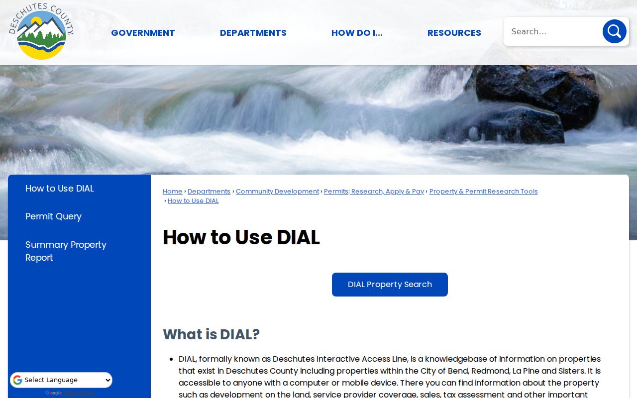
The County’s DIAL use guide shows the property-search context behind that filtering.
DIAL also links an account to assessment, tax, sales, tax-map, tax-lot-history, and district-report material. Those are useful after a specific parcel is identified. The directory remains focused on the postal filter rather than rebuilding a full address-by-address record chain.
Note: Preserve directional prefixes such as NW or SE in an address query because DIAL treats direction and street name as separate components.
Find Bend Records by ZIP Code
Use a postal check first, then choose the local record tool that accepts the next key. USPS is the exact validator for a delivery address. DIAL can narrow a property result by ZIP. DIAL Interactive Map and County GIS can then answer the different question of whether the parcel falls in city limits, the UGB, or an unincorporated area. CityView accepts an address or tax lot, not a documented ZIP field.
- Enter the complete address in the USPS lookup and record the returned ZIP rather than assuming a city name defines delivery coverage.
- Use the situs, owner name, or map/taxlot in DIAL. Narrow returned parcel rows with its City and ZIP filters when that is helpful.
- Open DIAL Interactive Map or County GIS and compare the parcel with the City-limits, UGB, or unincorporated-community layer.
- For a City permit question, use CityView with the confirmed address or tax lot. For a County permit question, use the relevant DIAL development material.
Once a postal area is narrowed to a specific street, the Bend street directory has the address-level record workflow. A ZIP filter should stay a narrowing tool rather than a claim about a household.
Verify a Bend ZIP Code by Address
The USPS ZIP Code Lookup is the authoritative check for a specific delivery address. Use its exact street address route when a record, notice, or family document carries a Bend postal label. A Census ZCTA adds statistical context, but it does not replace USPS delivery results. Do not turn a general postal map into a statement about city limits, parcel ownership, school areas, precincts, or Neighborhood Districts.
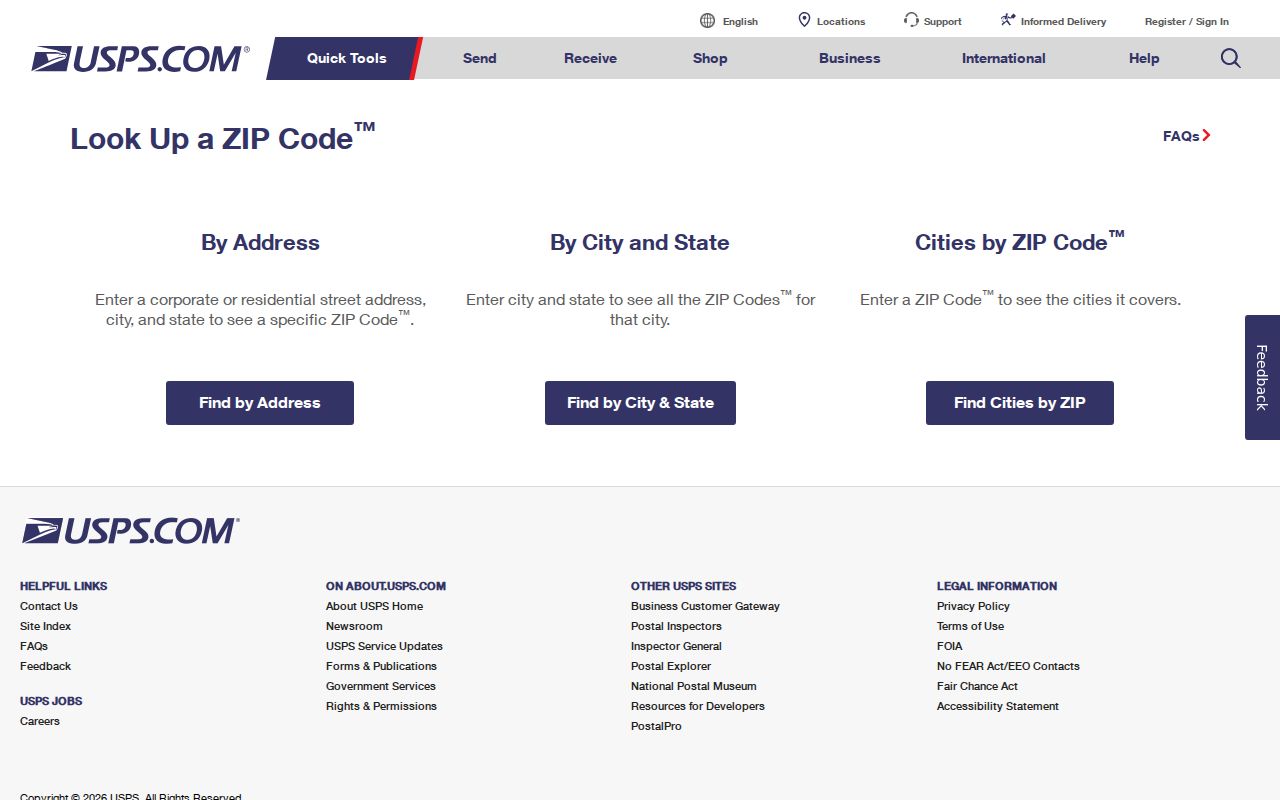
The lookup screen reinforces the right order: submit the real address, then record the result. If the address is not a valid match, keep the uncertainty in the research notes instead of selecting a nearby ZIP by appearance.
Bend Postal Labels and City Limits
ZIP boundaries and Bend municipal boundaries answer different questions. The City’s 2016 growth plan added 2,380 acres to the urban growth boundary, and land in a Bend postal area or UGB can remain under County jurisdiction until annexed. DIAL’s City result field and the County GIS city-limit, UGB, and unincorporated-community layers are the relevant jurisdiction checks. A delivery ZIP does not replace any of them.
Bend’s documented growth context makes that distinction practical. The City identified ten expansion areas and nine opportunity areas with the 2016 UGB work. A parcel can therefore have Bend mail service while its permit or land-use route remains with Deschutes County. The County GIS portal lists city limits, the county boundary, districts, subdivisions, and unincorporated communities among more than 60 publicly available layers. Use the layer that answers the question instead of treating a postal code as a substitute for jurisdiction.
CityView is useful after an address or tax lot is known. Its Property Locator accepts those keys, and its Permit Locator accepts application number, address, tax lot, or contact. Neither inspected tool lists a ZIP search field. That difference matters when a City record is sought for a Bend postal address near the edge of City authority.
The CityView Property Locator uses the address-or-tax-lot approach shown here.
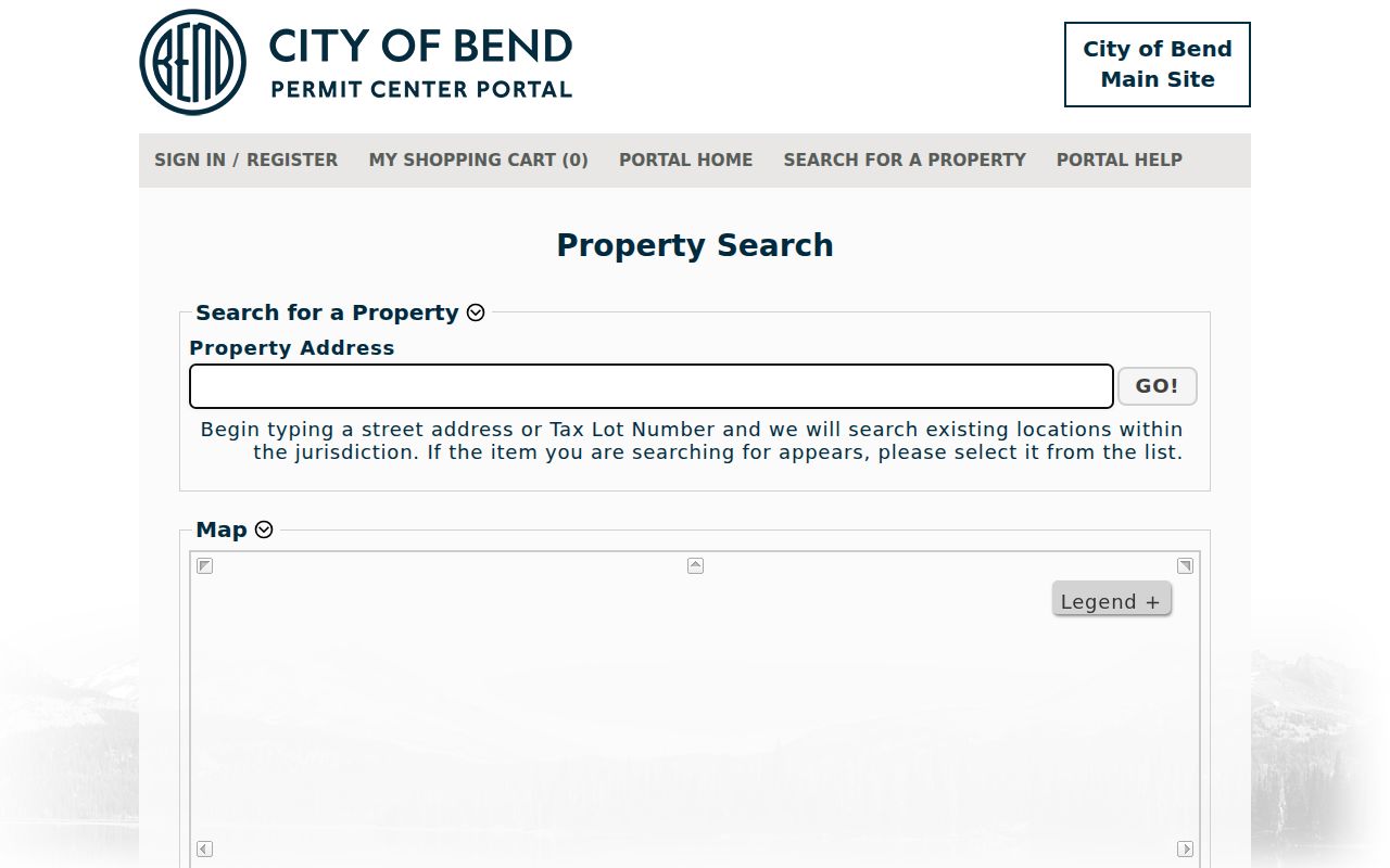
Its input design supports a parcel check after postal validation. It does not support a ZIP-wide CityView search, so do not infer one from the screen or use it to map a ZIP boundary.
Bend Postal Searches Are Not Rolls
The County voter-list request form permits countywide, district, precinct, and party parameters, but it does not include a ZIP field. Political precincts and ZIP codes are different geographies. Oregon My Vote is a voter’s secure self-service channel, not a public address browser. Similarly, CityView’s documented inputs are address and tax-lot based. These limits keep a useful Bend postal reference from overstating what a postal filter can return.
Where a formal Oregon voter-list request is appropriate, the Deschutes County form offers countywide or specific district, precinct, and party parameters, plus text, PDF, or hard-copy formats. It requires a signed agreement concerning ORS 247.955. The public-data statute also withholds birth month and day, Social Security number, driver-license number, signatures, Address Confidentiality Program information, and other protected material. The Oregon My Vote service remains the correct route for a voter checking or updating their own registration, ballot status, and election contacts.
County GIS offers more than 60 public map layers, updated weekly, including city limits, districts, subdivisions, unincorporated communities, UGBs, and Census geography. Those layers can provide spatial context around a known parcel. They do not turn a carrier route into a list of residents or prove a person belongs to a civic district.
Bend Delivery Boundary Definitions
A ZIP code is a Postal Service delivery code. ZIP+4 adds a more specific delivery segment to the five-digit code. A PO Box ZIP identifies mail held at a postal box, so it does not describe the box holder’s physical location. A unique ZIP is assigned to one organization or large recipient, although no such Bend designation was verified in the research. A carrier route is a postal delivery sequence; official carrier-route edges for Bend were not located in the available sources.
- ZIP and ZIP+4
- The five-digit delivery code and its added four-digit segment for a more specific mail destination.
- PO Box ZIP
- A code for postal-box delivery, which must not be treated as a physical residence or neighborhood.
- City-limit layer
- A County GIS boundary used to test municipal jurisdiction, separate from a postal label.
- ZCTA
- A Census approximation built for statistics, useful for context but not a USPS boundary.
Best check. Use USPS for the exact postal answer, then use DIAL and County GIS for the parcel and jurisdiction answer. Keep those results as separate facts.